Menu

The

Guide

Stick Charts

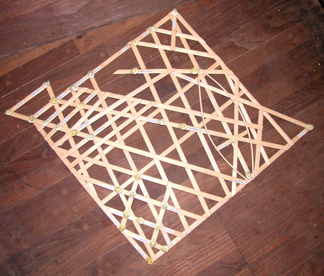
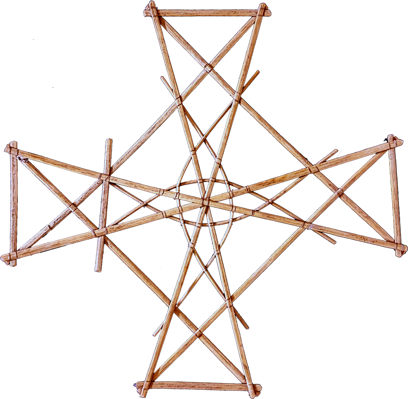
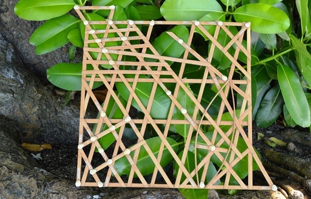
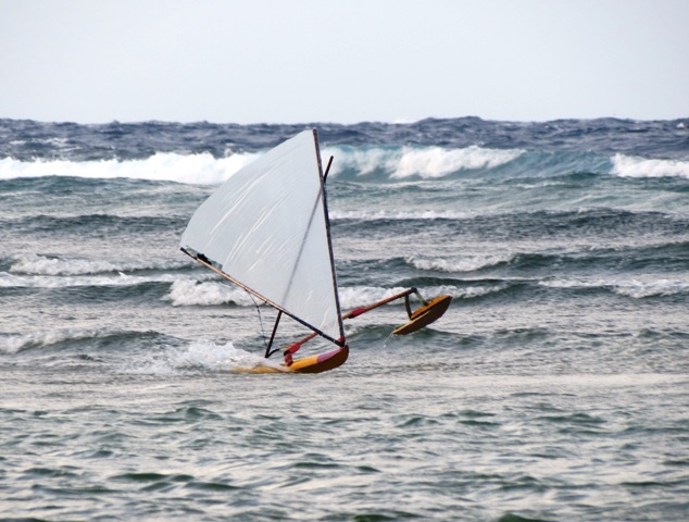
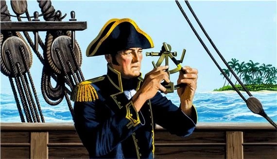
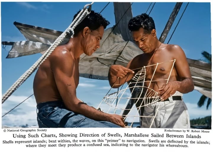
Historically, Marshallese are considered among the best navigators in the Pacific. They had to be as the atolls they sailed between were great distances apart and much of the sailing was on open ocean where no land could be seen. Once canoes were 10 miles from atolls the highest point (coconut trees) of low-lying atolls were no longer visible. To navigate the Marshallese primarily utilized 2 systems: 1) celestial navigation (stars, sun and moon) and 2) wave pattern navigation. The development of wave pattern navigation is fairly unique among the Marshallese and is the basis for much of their successful navigation and the rest of this essay.

Figure 1. Principles of Wave Pattern Navigation. From http://marshall.csu.edu.au/Marshalls/html/essays/es-tmc-2.html

Wave pattern navigation is based on the principle of reflection, deflection and refraction of waves. These effects of islands on swells may be noticed more than 20 miles away. To understand wave pattern navigation, first consider a single, isolated island or atoll. If waves hit a stable object, such as an island, some waves are reflected, that is mirrored back into the direction from which they came (figure 1a). Others are deflected, sent back at a different angle, at the margins of the island or atoll (figure 1b). In addition, each island creates a conical shaped zone of quiet water on the leeward side of the atoll, where the swell cannot reach (figure 1c). The dimensions of this quiet water area depend almost entirely on the dimensions of the island or atoll blocking the path of the swell. Further out on the leeward side of the island there will be a zone where the refracted waves (figure 1d), coming from both sides of the island, will meet (figure 1e). This area is defined by waves coming from two directions and colliding, creating a foamy line on the ocean. These waves will then continue out from this point until they become too weak and fade away (figure 1f).

Wave pattern navigation works best when there is there is a sufficient number of atolls or islands that are close enough and run perpendicular to an ocean swell. The Ralik and Ratak chains of the Marshall Islands meet this criteria as they run NNW to SSE and are close to the perpendicular east and west swells. In the Pacific Ocean, the Marshall islands are one of the few island groups that meets this perpendicular requirement and thus makes wave patterns useful tool for navigation.

Learning wave pattern navigation was difficult and in the past only a few Marshallese were taught the secrets of sailing and navigation. These trained navigators were called ri-meto. In order to become a ri-meto, an apprentice had to be trained by a senior ri-meto and this would often take years. The apprentice then had to pass a voyaging test, devised by his chief, on the first try. It is said that these skilled navigators could lie on their backs in the bottom of their canoe and without looking at the sea, sense the motion of the swells on the canoe and use this to navigate. Over the years, especially after WWII contemporary navigation (e.g. maps, GPS) methods have replaced traditional Marshallese ones and the number or ri-metos has diminished and the last well-known one died in 2003. (NY Times, 2016). Also, few tipnols (sailing canoe) and walaps (large sailing canoe) exist and because of this sailing between atolls has become rare.

Published by Marshallese Manit: Spreading Marshallese Culture Bit by Bit: manit@marshallese-manit.org . My thanks go to the Manit team who put in so much effort to explain and save the Marshallese culture. KE

Their references were:

Social Share

Subscribe to the Marshall Islands Journal online edition for $57 per year.
Learn more.

The Marshall Islands Journal

Jack film at Moondance

Jack film at Moondance

Journal 8/19/1983 P1 Compact is called the best last hopeThe Compact of Free Association is the best last hope for…
Emergency drill for air disaster

Emergency drill for air disaster

A full-scale emergency exercise took place Tuesday in Majuro challenging first responders to deal with a mock lagoon airplane crash…
Using fishing playbook for drugs

Using fishing playbook for drugs

Drug runners are taking a page out of the purse seine industry’s playbook. For decades, commercial fishing boats have used…
Featured Posts

Stick Charts

Historically, Marshallese are considered among the best navigators in the Pacific. They had to be as the atolls they sailed

The Final Years of Majuro

This is one of the great films about the Marshall Islands’ past, present and future. Created by a handful of young, inspired filmmakers, it gives a level of insight rarely achieved. — Karen Earnshaw

Pumpkin Bread for Karen's Kitchen

Pumpkin Bread

Easy to make pumpkin bread: This recipe turns out fabulous. I made a lot, but you can halve the ingredients.

National Anthem

Making a video of youth singing the Marshallese National Anthem was a long-held dream … It became a reality thanks

Comments

Give us your thoughts or ask Karen a question.

Related Posts

Menu

Featured Posts

The RMI Presidents

The first President of the Marshall Islands was Amata Kabua, who served from 1979 to

Airport Info

After flying into Amata Kabua International Airport you have a number of transport options to

Country Information

Climate: The year-round average daily temperature is 80.4 degrees Fahrenheit. While generally hot, cooling northeast
MIMRA Annual Reports

The Marshall Islands Marine Resources Authority (MIMRA) is the fisheries agency of the Republic of

Beautiful aerial shot of Majuro Atoll. Photo: Jamison Logan.

Yellow Pages

This is the nuts and bolts guide to finding things in Majuro and being able

The front entrance to Majuro Hospital in Delap, next to the Capital Building.

Health Insurance

The Supplemental Health Plan — Insurance for Off-Island Care The Marshall Islands offers a national

Featured Posts

Handicrafts

The Marshall Islands handicrafts are extremely artistic, long-lasting and a joy to own. The making

Toeak Bar

Good food with a fabulous view: That’s The Toeak Bar and Grill in Uliga. The

Bikendrik Island

Bikendrik Islands is one of two luxurious places to stay on a small islands in

Beautiful aerial shot of Majuro Atoll. Photo: Jamison Logan.

Yellow Pages

This is the nuts and bolts guide to finding things in Majuro and being able

Food Truck 692

If you’re in need of a quick and tasty lunch, try The Food Truck 692

Cruisers enjoy a meal at Won Hai Shien. Photo: Karen Earnshaw

Won Hai Shien

A group of cruisers were lucky enough to have Won Hai Shien owner give us

Enemanet Island

Enemanet Island, a few miles from downtown Uliga in Majuro, is the perfect place for

Featured Posts

National Anthem

Making a video of youth singing the Marshallese National Anthem was a long-held dream …

Handicrafts

The Marshall Islands handicrafts are extremely artistic, long-lasting and a joy to own. The making

The RMI Riddle

The RMI Riddle is published each week.. It is also published in The Marshall Islands

Expert weaver Susan Jieta makes a mat. Photo: Karen Earnshaw.

Susan Makes a Mat

Expert weaver Susan Jieta very kindly made a ‘jainai’ (fresh coconut frond mat) and allowed

Featured Posts

Marshalls Billfish Club

The Marshalls Billfish Club hosts regular monthly tournaments and two premier competitions each year: The July Tournament and the All Micronesia Tournament, a.k.a. the All Mike.

Diving

Despite the fact that Majuro is the country’s largest population center, with about 35,000 residents,

Dive Permit

  The Historic Preservation Office, found in the Alele Museum and Library building next to

MIMRA

The Marshall Islands Marine Resources Authority (MIMRA) is the fisheries agency of the Republic of the Marshall Islands. It looks after all aspects of commercial fishing in the nation, bringing in substantial revenue. Director Glen Joseph believes in transparency at all levels, commissioning in-depth, magazine-style annual reports every year.

Moona Kitesurfs @ Beran

Beran Island in Ailinglaplap is the capital of surfing in the Marshall Islands. It’s managed by Indies Trader, a company owned by Australian Martin Daly.

Reef researcher Sara Cannon and Cary Evarts with a huge tuna.
Researching our Reefs

Marine scientists are regular visitors to the Marshall Islands. Their specific research topics vary, but most choose the Marshalls because our reefs are so accessible … plus those that aren’t so accessible, on the remote outer islands, are truly unique.

Featured Posts

Candice Guavis with one of the Enemanet mooring buoys. Photo: Karen Earnshaw

Mooring Project

The Mieco Beach Yacht Club began working on a mooring project for Enemanet and Eneko

Enemanet Island

Enemanet Island, a few miles from downtown Uliga in Majuro, is the perfect place for

Checking in to Majuro

Yachts checking into Majuro, capital of the Marshall Islands, generally agree that the process is

Menu

Featured Posts

The RMI Presidents

The first President of the Marshall Islands was Amata Kabua, who served from 1979 to

Airport Info

After flying into Amata Kabua International Airport you have a number of transport options to

Country Information

Climate: The year-round average daily temperature is 80.4 degrees Fahrenheit. While generally hot, cooling northeast

MIMRA Annual Reports

The Marshall Islands Marine Resources Authority (MIMRA) is the fisheries agency of the Republic of

Featured Posts

The RMI Presidents

The first President of the Marshall Islands was Amata Kabua, who served from 1979 to

Airport Info

After flying into Amata Kabua International Airport you have a number of transport options to

Country Information

Climate: The year-round average daily temperature is 80.4 degrees Fahrenheit. While generally hot, cooling northeast

MIMRA Annual Reports

The Marshall Islands Marine Resources Authority (MIMRA) is the fisheries agency of the Republic of