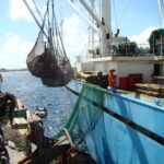
Climate: The year-round average daily temperature is 80.4 degrees Fahrenheit. While generally hot, cooling northeast trade winds blow for most of the year. The southern atolls generally get more rain than the northern atolls. The wet season is ‘usually’ from May to November. The Marshall Islands rarely sees big winds, with the worst usually coming from the west. Average annual rainfall 135 inches.
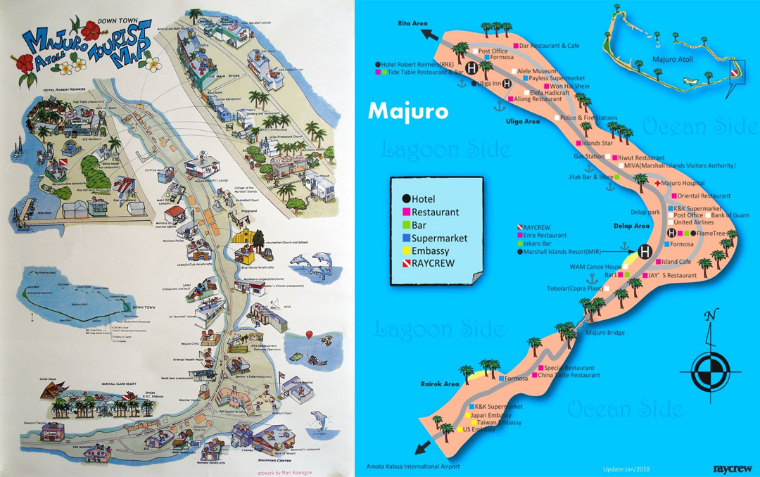
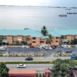
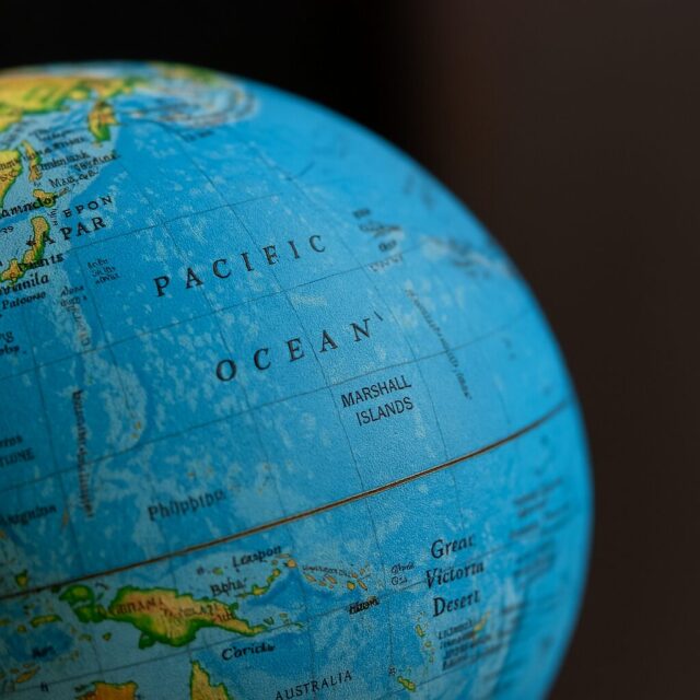
Location: Micronesia, which literally means “small islands” and is a group of coral atolls and islands in the North Pacific Ocean about one-half of the way between Hawaii and Papua New Guinea. The capital, Majuro, is at N7°06 and E171°22.
Land Area: 70 sq miles or 181.3 sq km (about the size of Washington, DC).
Elevation extremes: Lowest point, Pacific Ocean 0 feet; highest point, an unnamed location on Likiep, 30 feet.
Geography: Two archipelagic island chains (Ralik and Ratak) of 29 atolls and 1,225 islands (these numbers are often different depending on your resource).
Population: See 2021 census below.
Currency: US dollars.
Official Languages: English and Marshallese.
Government: Constitutional government in free association with the United States.
Local Time: GMT +12 hours (same as New Zealand.)
Electrical: 110 volts/60 cycles.
Measurements: US standard.