



Ailinginae Fact File
Also spelled: Aelōn̄in Ae · Ailingnae
—
No residents
25
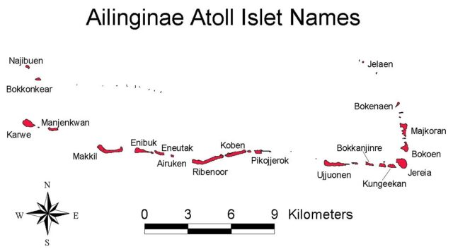
Islets
1.08
Land, sq miles
40.91
Lagoon, sq miles
Checked October 2026

The first sighting of Ailinginae recorded by Europeans was by the Spanish navigator Álvaro de Saavedra on January 1, 1528. Together with Utirik Atoll and Rongelap Atoll, they were charted as Islas de los Reyes (Islands of the Three Wise Kings in Spanish) due to the proximity of Epiphany (a Christian holiday). The traditional date for the Epiphany feast is January 6, however, since 1970 the celebration has been held in some countries on the Sunday after January 1.
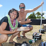
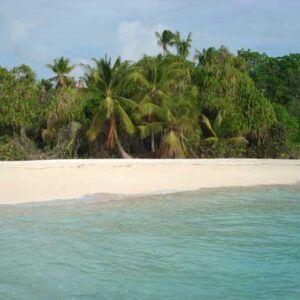
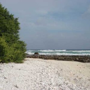
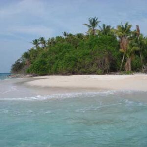
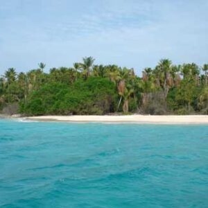
Photos of Ailinginae: Suzanne Chutaro.
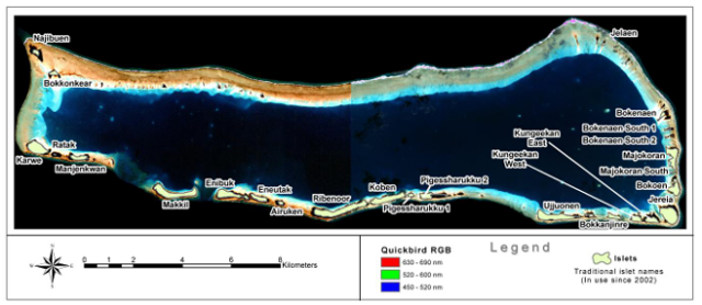
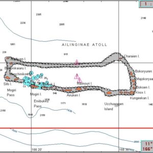
The map with a dark blue background is found in the following document:
AILINGINAE ATOLL CONSERVATION MANAGEMENT PLAN- DRAFT 1
“This plan is prepared for the management, support, and operation of the Ailinginae Atoll Conservation Area initially established in 2002 and among the first uninhabited atolls now formally protected in the Pacific.”