FACT FILE
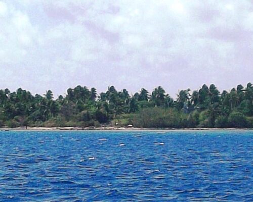
Number of Islets: 30. Population: n/a. Land Area: 0.67 square miles. Lagoon Area: 25.47 square miles.
Number of Islets: 30. Population: n/a. Land Area: 0.67 square miles. Lagoon Area: 25.47 square miles.
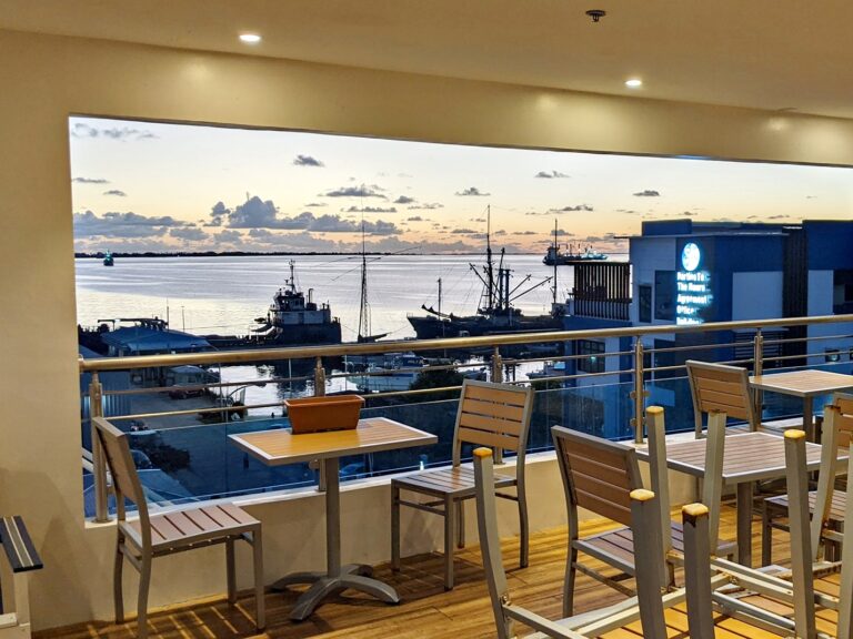
Good food with a fabulous view: That’s The Toeak Bar and Grill in Uliga. The restaurant and sports bar is on the fifth floor of the NAPA building, which is opposite the courthouse and, yes, there is an elevator to get you to the top floor.
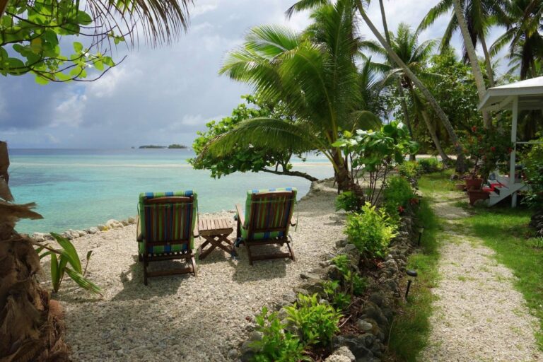
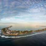
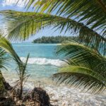
Bikendrik Islands is one of two luxurious places to stay on a small islands in Majuro lagoon. But this idyllic spot also comes with tales of space rockets and magnificent homemade food.
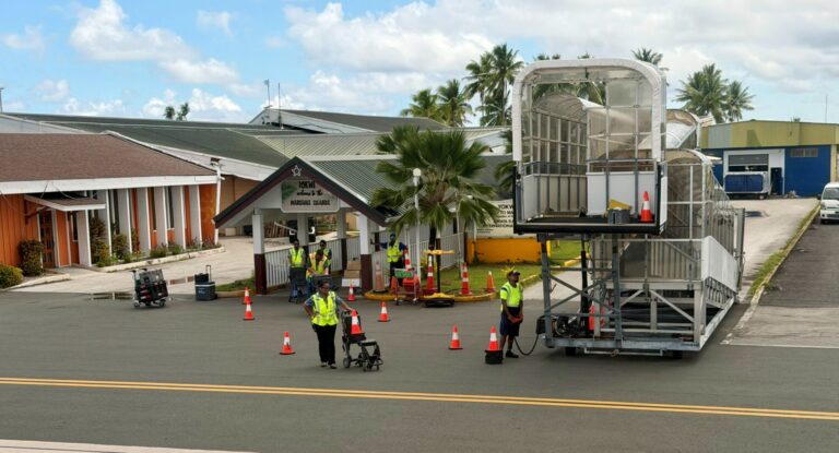
After flying into Amata Kabua International Airport you have a number of transport options to reach your hotel or the family you are staying with. The hotels have buses and taxis are always available.
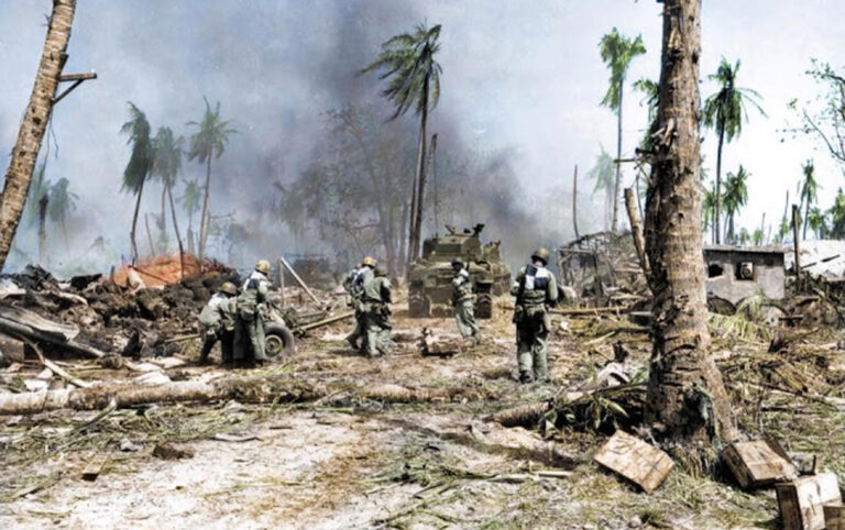
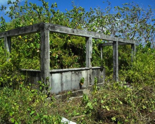
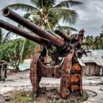
The Battle of Kwajalein was fought as part of the Pacific campaign of World War II. It took place January
After flying into Amata Kabua International Airport you have a number of transport options to
Climate: The year-round average daily temperature is 80.4 degrees Fahrenheit. While generally hot, cooling northeast

The Marshall Islands Marine Resources Authority (MIMRA) is the fisheries agency of the Republic of

You need or want a product, but you can’t work out a way to ship
This is the nuts and bolts guide to finding things in Majuro and being able
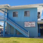
Majuro Cooperative School is a private, secular school educating students in grades pre-K through 12th.
The Supplemental Health Plan — Insurance for Off-Island Care The Marshall Islands offers a national

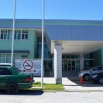
What Can Majuro Hospital Treat — And When Do You Need to Go
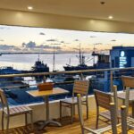
Good food with a fabulous view: That’s The Toeak Bar and Grill in Uliga. The
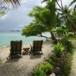
Bikendrik Islands is one of two luxurious places to stay on a small islands in
This is the nuts and bolts guide to finding things in Majuro and being able
If you’re in need of a quick and tasty lunch, try The Food Truck 692
An aerial view of the Marshall Islands Resort showing its solar panel array, installed in
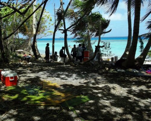
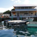
Enemanet Island, a few miles from downtown Uliga in Majuro, is the perfect place for
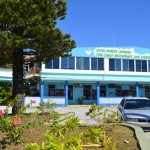
The Hotel Robert Reimers has a traditional Marshallese flavor, primarily due to its luxurious tropical

Ten years or so years ago I think there was one or maybe two vacation
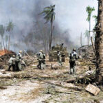
The Battle of Kwajalein was fought as part of the Pacific campaign of World War
This is one of the great films about the Marshall Islands’ past, present and future.
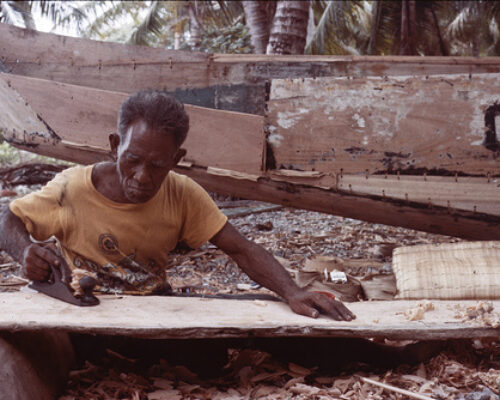
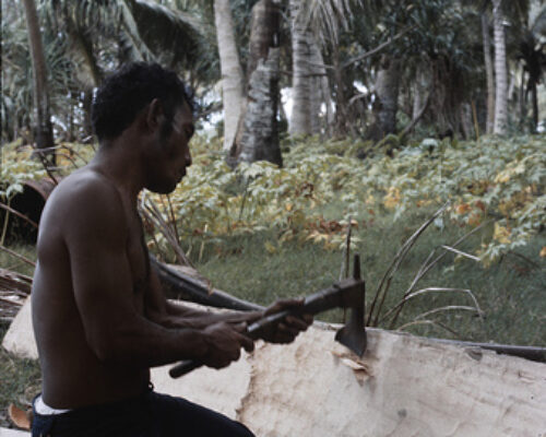
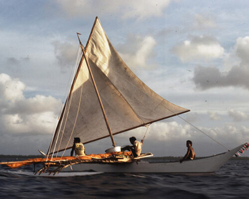
I was taking a pleasant stroll down the center of one of the small northern
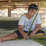
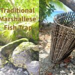
Expert weaver Susan Jieta very kindly made a ‘jainai’ (fresh coconut frond mat) and allowed
Making a video of youth singing the Marshallese National Anthem was a long-held dream …

Jack Niedenthal is the Marshall Islands film-maker and within the films he is a teller
My Remembering RMI guest is NATALIE NIMMER who has lived in the RMI off and

The RMI Riddle is published each week.. It is also published in The Marshall Islands
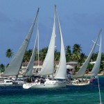
The Mieco Beach Yacht Club is designed to be a social and informational group for
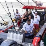
The Marshalls Billfish Club hosts regular monthly tournaments and two premier competitions each year: The July Tournament and the All Micronesia Tournament, a.k.a. the All Mike.
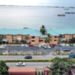
Despite the fact that Majuro is the country’s largest population center, with about 35,000 residents,

Soccer has become a huge thing for Marshallese in RMI and the US mainland in
The Historic Preservation Office, found in the Alele Museum and Library building next to
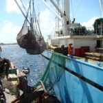
The Marshall Islands Marine Resources Authority (MIMRA) is the fisheries agency of the Republic of the Marshall Islands. It looks after all aspects of commercial fishing in the nation, bringing in substantial revenue. Director Glen Joseph believes in transparency at all levels, commissioning in-depth, magazine-style annual reports every year.
Beran Island in Ailinglaplap is the capital of surfing in the Marshall Islands. It’s managed by Indies Trader, a company owned by Australian Martin Daly.
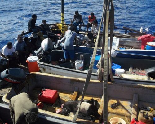
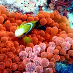
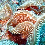
Marine scientists are regular visitors to the Marshall Islands. Their specific research topics vary, but most choose the Marshalls because our reefs are so accessible … plus those that aren’t so accessible, on the remote outer islands, are truly unique.
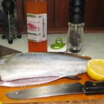
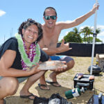
A fish landed on the deck of our yacht Seal. What did I do? Prepared
The Mieco Beach Yacht Club is designed to be a social and informational group for
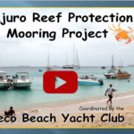
The Mieco Beach Yacht Club began working on a mooring project for Enemanet and Eneko
Enemanet Island, a few miles from downtown Uliga in Majuro, is the perfect place for
Yachts checking into Majuro, capital of the Marshall Islands, generally agree that the process is

The Mieco Beach Yacht Club is a social and safety non-profit organization. They held a
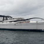
The yacht Windryder was dismasted on its way from Majuro to Hawaii. Here’s the tale…
Throughout this site I have been given permission to share people’s photos. Deo Keju and
Good food with a fabulous view: That’s The Toeak Bar and Grill in Uliga. The
Bikendrik Islands is one of two luxurious places to stay on a small islands in
After flying into Amata Kabua International Airport you have a number of transport options to
The Battle of Kwajalein was fought as part of the Pacific campaign of World War
After flying into Amata Kabua International Airport you have a number of transport options to
Climate: The year-round average daily temperature is 80.4 degrees Fahrenheit. While generally hot, cooling northeast
The Marshall Islands Marine Resources Authority (MIMRA) is the fisheries agency of the Republic of
You need or want a product, but you can’t work out a way to ship